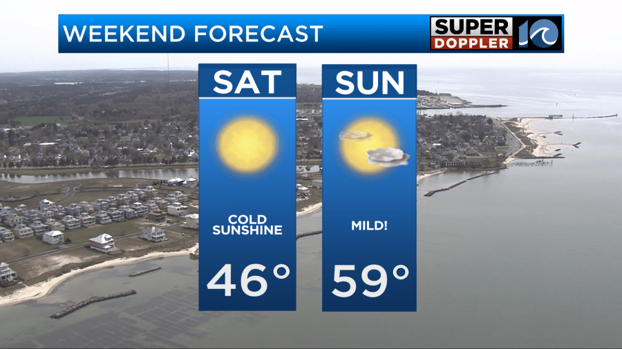
Chilly temperatures continue into Saturday. For Saturday, we’ll “warm” up into the low to mid 40s across the area. Lots of sun, but a cool day overall for sure. Temperatures overnight drop into the 20s and 30s across the region.
Sunday features an actual warm up, with temperatures in the upper 50s to near 60. This come ahead of an approaching storm system that brings us rain showers for much of the upcoming week.
Rain showers will be likely Monday, especially in the morning. Showers should come to an end late Monday into Monday night, leaving us with lower rain chances through the overnight. Tuesday – the rain chances return, mainly in the afternoon. Wednesday will also be a day that features rain showers. If cool air comes in quickly, there’s a chance of a brief wintry mix at the end of the precipitation Wednesday evening. Most of the time through, this doesn’t work out very well, and the moisture moves out before the cold air moves in, but we’ll watch it…
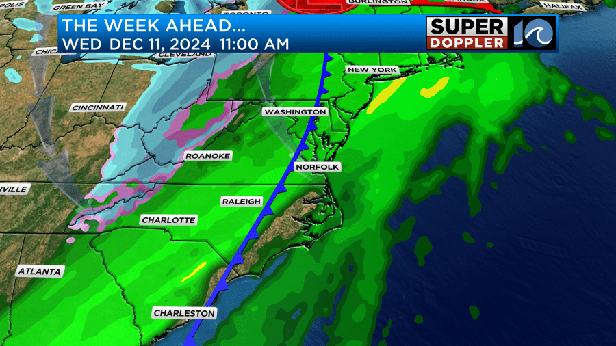
Drier and cooler Thursday into Friday, with temperatures in the 40s.
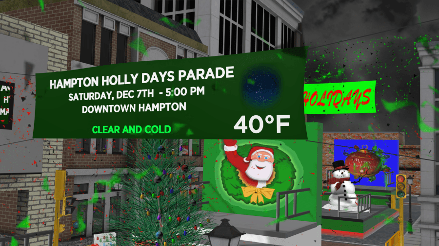
Lots of events happening today. Parade in VB, Chesapeake and Hampton this evening. Weather should be in the 40s for all of them.
Hope you have a great weekend!
Meteorologist Ricky Matthews